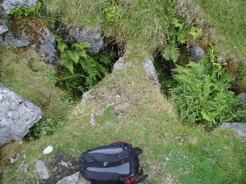
Suicide Pot
| Area: | West Kingsdale |
|---|---|
| Grade: | 4 |
| NGR: | SD69467753 |
| Lat/long: | 54.1926, -2.46954 |
| Elevation: | 381m |
| Length: | Unknown |
| Depth: | 6m |
| Rock Type: | Great Scar Limestone |
Warning
The whole of this pot is in unstable boulders and demands the greatest caution.
Access
Prior permission not required, Thornton Hall, Westhouse, via Carnforth.
Exploration
- Explored 1969 BSA