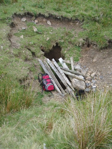
Green Laids Pot
| AKA: | McShea's Mine |
|---|---|
| Area: | West Kingsdale |
| Grade: | 3 |
| NGR: | SD69987846 |
| Lat/long: | 54.201, -2.46167 |
| Elevation: | 366m |
| Length: | 28 m |
| Depth: | 26m |
| Rock Type: | Great Scar Limestone |
Access
Prior permission not required, Ireby Hall Farm, Cowan Bridge, via Carnforth.
Exploration
- Explored 1967 HWCPC
- Extended 2005 MMMMC
References
| Publication | Title | Club | Author |
|---|---|---|---|
| 1966 Journal, page 45-46 (Summer 1966) | Kingsdale | HWCPC | Cunningham, J. |
| Journal of the BSA, number 48, page 33-47 (December 1967) | Caves and Caving in Kingsdale | Brook, D. | |
| Journal of the LUCC, number 10 (Autumn 1969) | Green Laids Pot, Kingsdale | HWCPC | Anon. |
| Descent, number 187, page 12 (Dec Jan 2005/6 2005) | Green Laids Pot | MMMMC | |
| Journal of the RRCPC, number 10, page 61-64 (2009) | Green Laids Pot (McShea's Mine) | RRCPC | Ramsay, D. |
References
1966 Journal, page 45-46 (Summer 1966)
Title: Kingsdale
Club: HWCPC
Author: Cunningham, J.
Journal of the BSA, number 48, page 33-47 (December 1967)
Title: Caves and Caving in Kingsdale
Author: Brook, D.
Journal of the LUCC, number 10 (Autumn 1969)
Title: Green Laids Pot, Kingsdale
Club: HWCPC
Author: Anon.
Descent, number 187, page 12 (Dec Jan 2005/6 2005)
Title: Green Laids Pot
Club: MMMMC
Journal of the RRCPC, number 10, page 61-64 (2009)
Title: Green Laids Pot (McShea's Mine)
Club: RRCPC
Author: Ramsay, D.